Spiti is one of those places people read about long before they work out where it actually is. The short answer, then the detail.
The short answer
| Spiti Valley | |
|---|---|
| Country | India |
| State | Himachal Pradesh |
| District | Lahaul and Spiti |
| Coordinates | 32.25° N, 78.03° E |
| Altitude | ~3,800 m above sea level |
| Terrain | High-altitude cold desert |
| Nearest airport | Bhuntar (Kullu), then a long drive |
Placing it on a map
Spiti sits in the north-east corner of Himachal Pradesh, in the rain shadow of the main Himalayan range. Kinnaur is to its south, Ladakh to its north, and Tibet lies immediately east across the border.
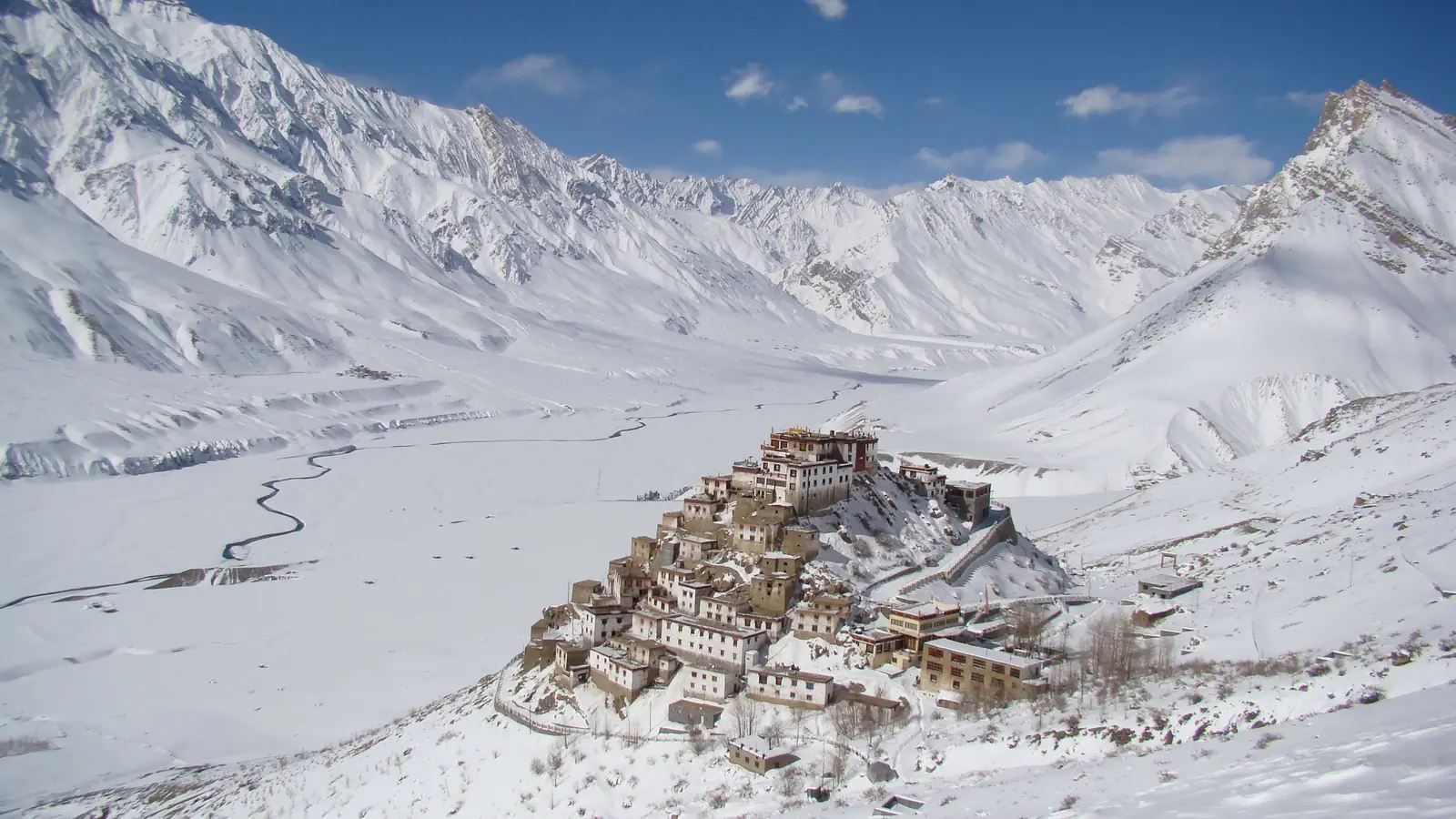
That rain-shadow position explains everything about the place. The Himalaya intercepts the monsoon before it arrives, so Spiti gets very little rain and looks nothing like the green Himachal most visitors picture. It is brown, bare and geological, closer in appearance to Ladakh or the Tibetan plateau than to Manali.
How high is Spiti above sea level?
The valley floor runs at roughly 3,800 m, around 12,500 ft. Settlements vary: Kaza, the main town, sits near 3,650 m, and villages such as Komic and Langza are higher still, above 4,200 m.
This matters more than the scenery. You are at genuine altitude from the moment you arrive, and altitude sickness is the single most common thing that spoils a Spiti trip.
Two roads in, and they are not interchangeable
There is no direct flight and no railway. Spiti is reached by road, by one of two approaches, and choosing between them is the most consequential planning decision you will make.
From Shimla, via Narkanda, Kalpa and Nako. Longer, but it gains height gradually over two or three days. It stays open most of the year.
From Manali, over Rohtang and Kunzum La. Much shorter, and much harsher on your body: you go from Manali's 2,050 m to over 4,500 m at Kunzum La in a single day. This road opens roughly late May and closes with the first heavy snow, usually by mid-October.
Most people, given a week, should enter via Shimla and exit via Manali. You acclimatise on the way in and save a day on the way out.
Do you need a permit?
Indian nationals need no permit anywhere on the Spiti circuit, including the Shimla to Kinnaur route. Carry a government photo ID for registration checkpoints.
Foreign nationals need a Protected Area Permit for part of the route. We have written that up in full in Spiti Valley permits in 2026.
When to go
June to September is the window when both roads are usually open and the weather is settled. Because Spiti sits in rain shadow, the Indian monsoon barely touches it, so those monsoon months are genuinely fine here, unlike almost everywhere else in the Himalaya.
Winter is possible via Shimla, and spectacular, but it is a different and far more demanding trip.
Spiti or Ladakh?
They look similar in photographs and are frequently confused. They differ sharply on cost, time and how you arrive. We have compared them in Spiti vs Ladakh.