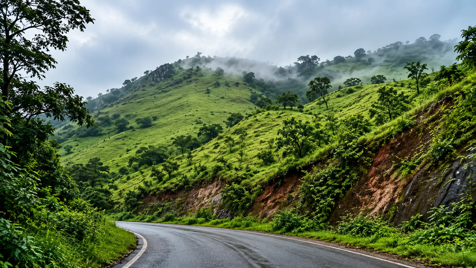
Chikkamagaluru
The district where Indian coffee started, holding the highest peak in Karnataka. Two separate days out from one town: the Chandra Drona ridge above Chikkamagaluru, and the Kemmangundi falls an hour and a half north.
- Altitude
- 1,090 m
- Terrain
- Chandra Drona range and coffee hills
- Best months
- Sep–Feb
- Region
- Karnataka, India
Chikkamagaluru is where coffee in India began, and the estates still set the character of the district. What brings most people now is the ridge above the town: the Chandra Drona range carries Mullayanagiri, at 1,930 m the highest peak in Karnataka and the twenty-third highest in the Western Ghats.
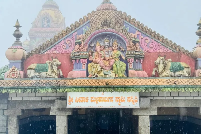
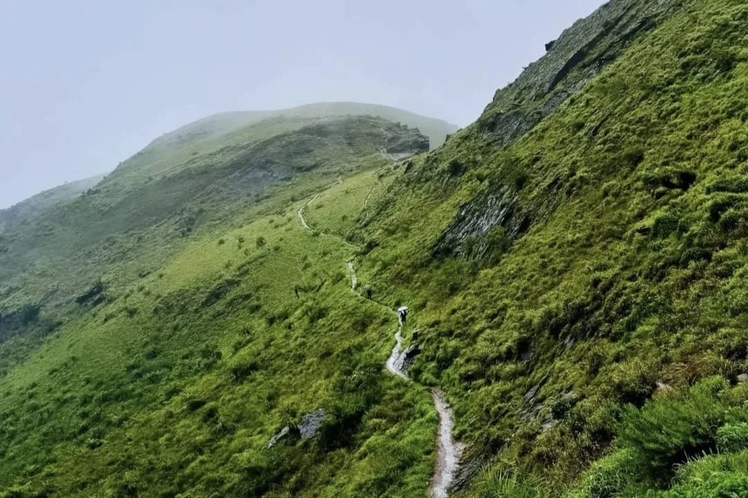
The district divides into two days rather than one, and the common mistake is trying to combine them. The near cluster sits within about 25 km of town and works as a single climbing run: Hirekolale Lake first at the bottom, then Seethalayyanagiri, then Mullayanagiri at the top of the same road. Mullayanagiri is a peak you ride up rather than climb. Private vehicles are restricted on the last stretch and the run to the top is done by local jeep, 200 rupees a jeep each way and so 400 for the round trip in September 2026. From the drop-off a final flight of roughly 500 steps reaches the small Shiva temple on the summit. It is a viewpoint with a short climb, not a hill walk. If you want the walk, a marked trail runs up from Sarpadhari instead.
The one thing at Mullayanagiri worth planning for is the zipline, 300 rupees a person, which runs out over the tree canopy below the peak. In cloud it is the best single thing in the district: you travel through moving fog with dense forest underneath and no horizon in any direction. It is also weather-dependent in the obvious way.
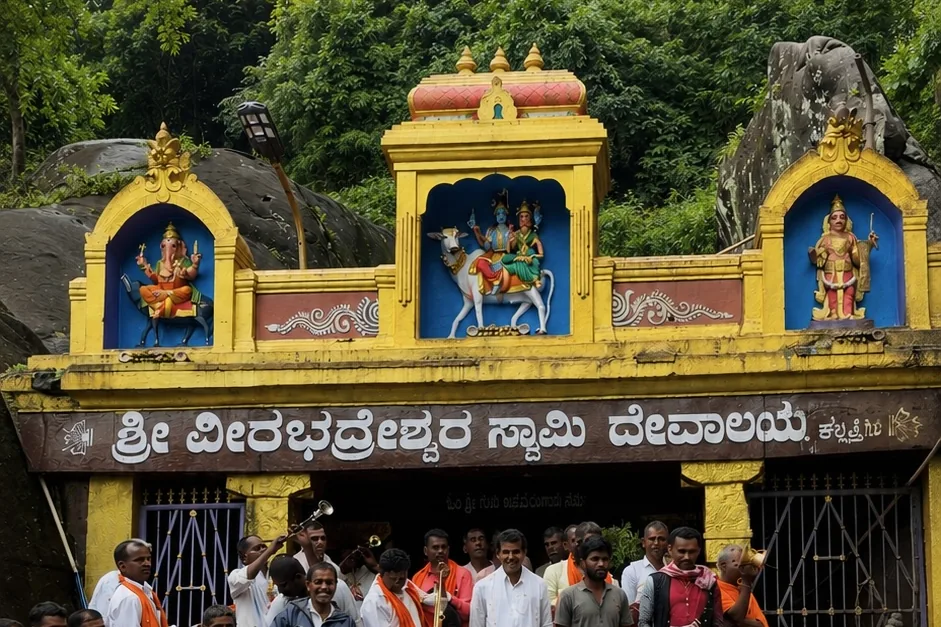
The far cluster is Kemmangundi, around 55 km north and a good ninety minutes on hill road. Z Point is a walk of roughly 3 km out to a ridge edge. Kalhatti Falls drops beside the Veerabhadreshwara temple, with steps down to it but no trek and no ticket. Hebbe Falls is the one with logistics: private cars stop at a checkpoint and the last 7 km are by 4x4 jeep over an unmetalled track, 710 rupees a head as of September 2026, with a short walk at the end.
Belur and its Hoysala temple sit 23 km west, in Hassan district rather than this one. It folds easily into a Chikkamagaluru trip and has its own page here, because it is a different kind of day entirely.
Highlights
- Mullayanagiri, 1,930 m, the highest point in Karnataka, by jeep then about 500 steps
- Seethalayyanagiri, the smaller peak and temple on the same road up
- Z Point, a walk of roughly 3 km from Kemmangundi to a ridge edge
- The Mullayanagiri zipline, 300 rupees, best of all in cloud
- Hebbe Falls, reached only by 4x4 jeep for the last 7 km, 710 rupees a head
- Kalhatti Falls, dropping beside a Shiva temple, steps down but no trek and no ticket
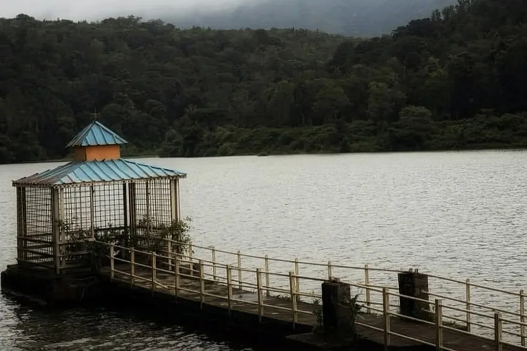
- Hirekolale Lake, 10 km from town and built for irrigation, best at sunset
Places here
Common questions
How high is Mullayanagiri and do you have to trek it?
1,930 m, the highest peak in Karnataka. Most people do not trek it at all. Private vehicles are restricted near the top, so the last stretch is by local jeep, and roughly 500 steps finish the job from the drop-off. That makes it a viewpoint with a short climb. If you want the walk, a marked trail runs to the summit from Sarpadhari instead.
Can you drive your own car up Mullayanagiri?
Not to the top. Private vehicles are restricted on the final stretch and the run up is by local jeep, which was 200 rupees a jeep each way, 400 for the round trip, in September 2026. That is a charge per vehicle rather than per head. The rules here have changed more than once, so check locally before relying on driving yourself.
Can you drive to Hebbe Falls?
Not the whole way. Private vehicles are stopped at a checkpoint and the last 7 km from Kemmangundi are by 4x4 jeep only, over an unmetalled track. The fare was 710 rupees a person in September 2026. Budget the time as well as the money; it is the slowest item on a Kemmangundi day.
Is there a zipline at Mullayanagiri and what does it cost?
Yes, 300 rupees a person, running out over the forest canopy below the peak. It is at its best in cloud, when you cross moving fog with dense trees underneath and nothing visible beyond. It depends on the weather, so it is not guaranteed on any given day.
Can you see Chikkamagaluru in two days?
Yes, if you split it by geography rather than by ticking off sights. One day for the near ridge: Seethalayyanagiri, Mullayanagiri and Hirekolale Lake, all within 25 km of town. A second for Kemmangundi, 55 km north, covering Z Point, Kalhatti and Hebbe. Belur, 23 km west, needs half a day of its own.
When is the best time to visit Chikkamagaluru?
September and October, when the rain has stopped but the falls are still full and the hills are green. November to February is drier and clearer, and cold on the peaks at dawn. In the June to August monsoon the waterfalls are at their best and the summits are usually inside cloud.
Is Belur in Chikkamagaluru district?
No. Belur is in Hassan district, about 23 km from Chikkamagaluru town. It is close enough to visit on the same trip, which is why the two are so often listed together, but it is a different district and a different sort of day.