Most pages about Kedarkantha bury the numbers under adjectives. Here they are first.
The numbers
| Kedarkantha | |
|---|---|
| Summit height | 3,810 m (12,500 ft) |
| Trailhead | Sankri, 1,950 m |
| Total ascent | ~1,840 m |
| Trekking distance | ~20 km round trip |
| Duration | 6 days, trailhead to trailhead |
| Grade | Easy |
| Season | December to April |
| State | Uttarakhand, Govind wildlife sanctuary |
Why you see different heights quoted
You will find 3,800 m, 3,810 m, 3,812 m and 12,500 ft on different sites. They are all describing the same summit; the spread comes from which survey and which rounding someone used. 3,810 m is the figure to quote, and 12,500 ft is its conversion, rounded.
The number that actually matters for your body is not the summit height anyway. It is the 1,840 m of ascent and the fact that you sleep above 3,000 m in sub-zero conditions.
Why the distance looks short
Twenty kilometres over six days sounds trivial, and on a map it is. Two things make it harder than the distance suggests.
The first is gradient. You gain 1,840 m across that 20 km, which is a steep average, and most of it is concentrated in the summit push.
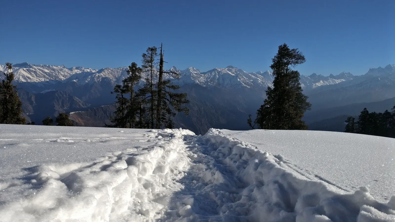
The second is surface. From late December the trail is snow-covered, and walking on snow in microspikes is materially slower and more tiring than the same distance on dry ground.
How the six days break down
Two of the six days are road travel to and from Sankri, which is a long drive from Dehradun. The walking is spread across the middle four days, with the summit push starting in the dark to reach the top around sunrise and get down before the snow softens.
That is why you should read "six days" as four days of walking, not six.
Is 3,810 m high enough to need acclimatisation?
Acute mountain sickness becomes a real consideration above roughly 2,500 m, and Kedarkantha's camps sit above 3,000 m. So yes, symptoms happen here, and they happen to fit people.
The saving grace is the profile: you gain height gradually across several days rather than arriving at altitude by road, and you descend to sleep lower after the summit. That is a much friendlier shape than driving straight to a high camp.
Season, and why March is different
The route runs December to April. Those months are not equivalent.
Late December to February is peak snow and peak crowds. Popular campsites can hold hundreds of people on a good weekend. March and early April still hold snow high up but carry a fraction of the traffic, which for most people is the better trade.
Compared with the other beginner trek
Kedarkantha's nearest rival for first-timers is Hampta Pass, at 4,287 m over 26 km. It is the harder of the two, and it runs in the opposite season. We have compared them properly in Kedarkantha vs Hampta Pass.